Naturnah oder intensiv genutzt – Landschaften im Wandel
Inhalt
Material herunterladen
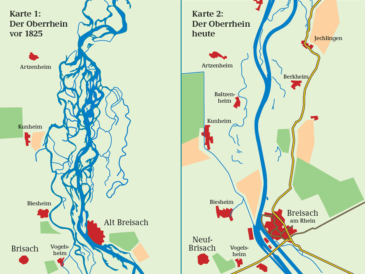
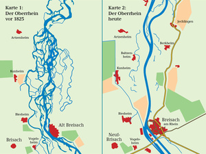 Der Rhein im Wandel der Zeit (JPG - 226 KB)
Quelle: Bildungsservice im BMU / Bundesanstalt für Gewässerkunde
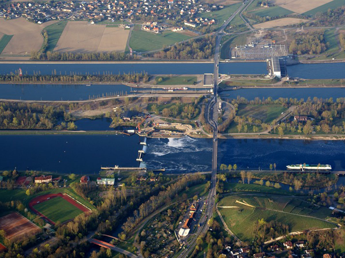
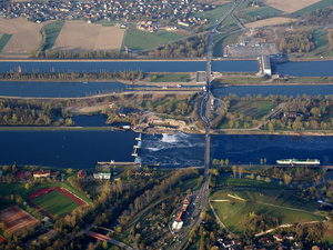 Der Rhein – zwischen Begradigungen, Regulierung und Korrektur (JPG - 289 KB)
Foto: Norbert Blau / commons.wikimedia.org / CC BY-SA 3.0
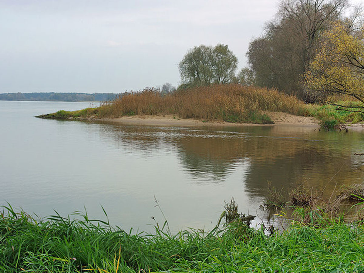
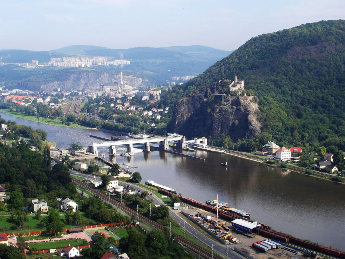
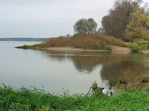 Die Elbe mit ihren verschiedenen Gesichtern (JPG - 266 KB)
Foto: Christian Fischer / commons.wikimedia.org / CC BY-SA 3.0
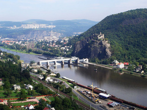 Die Elbe mit ihren verschiedenen Gesichtern (JPG - 309 KB)
Foto: Rolf-Dresden / commons.wikimedia.org / CC BY 2.5
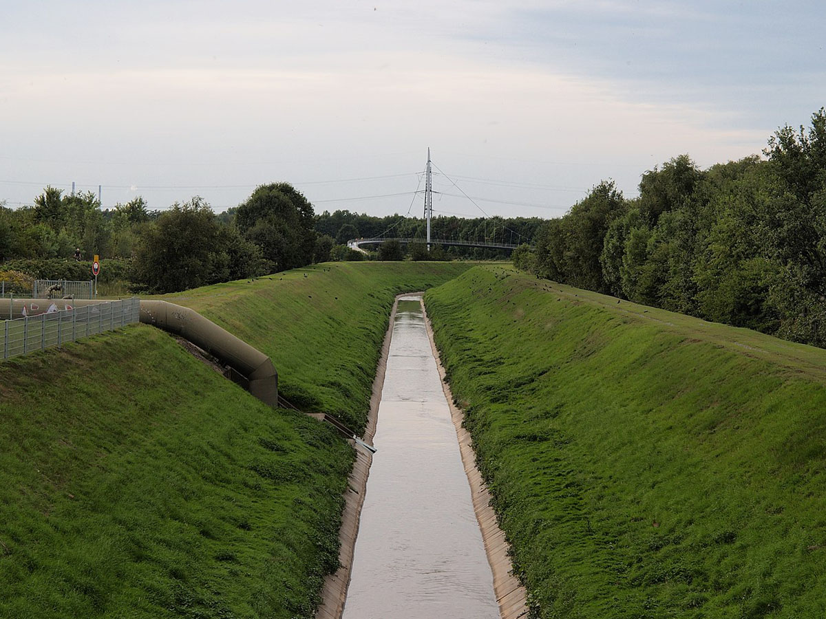
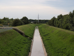 Der Hüller Bach in seinem Betonbett (JPG - 284 KB)
Foto: Arnoldius / commons.wikimedia.org / CC BY-SA 3.0
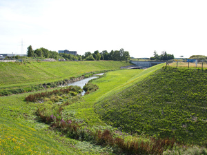 Der renaturierte Torfheider Bach im Ruhrgebiet (JPG - 344 KB)
Foto: Raenmaen / commons.wikimedia.org / CC BY-SA 3.0
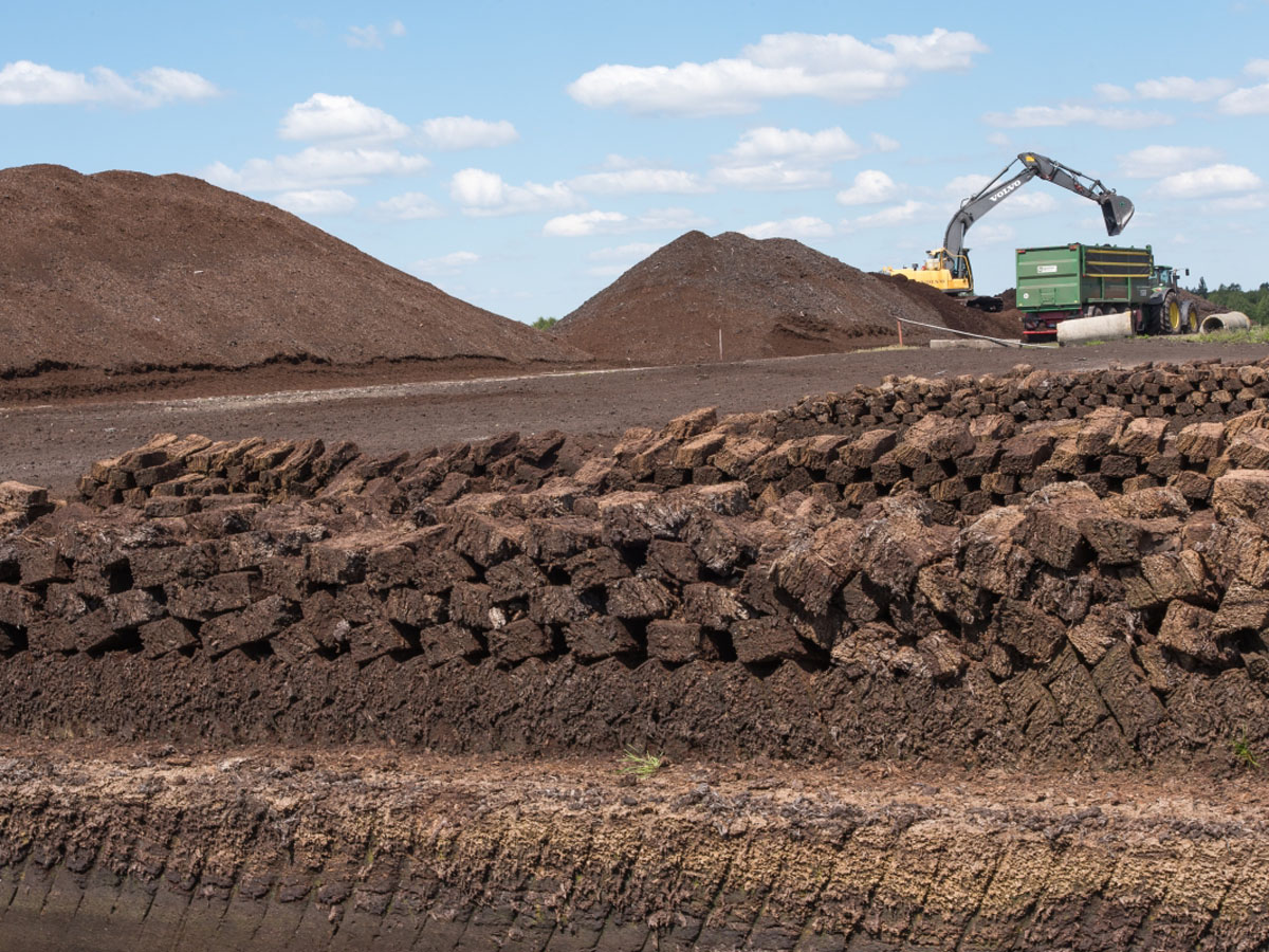
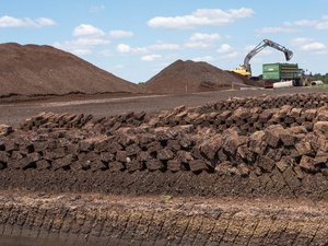 Moorlandschaften (JPG - 347 KB)
© Dr. Ulf Hauke
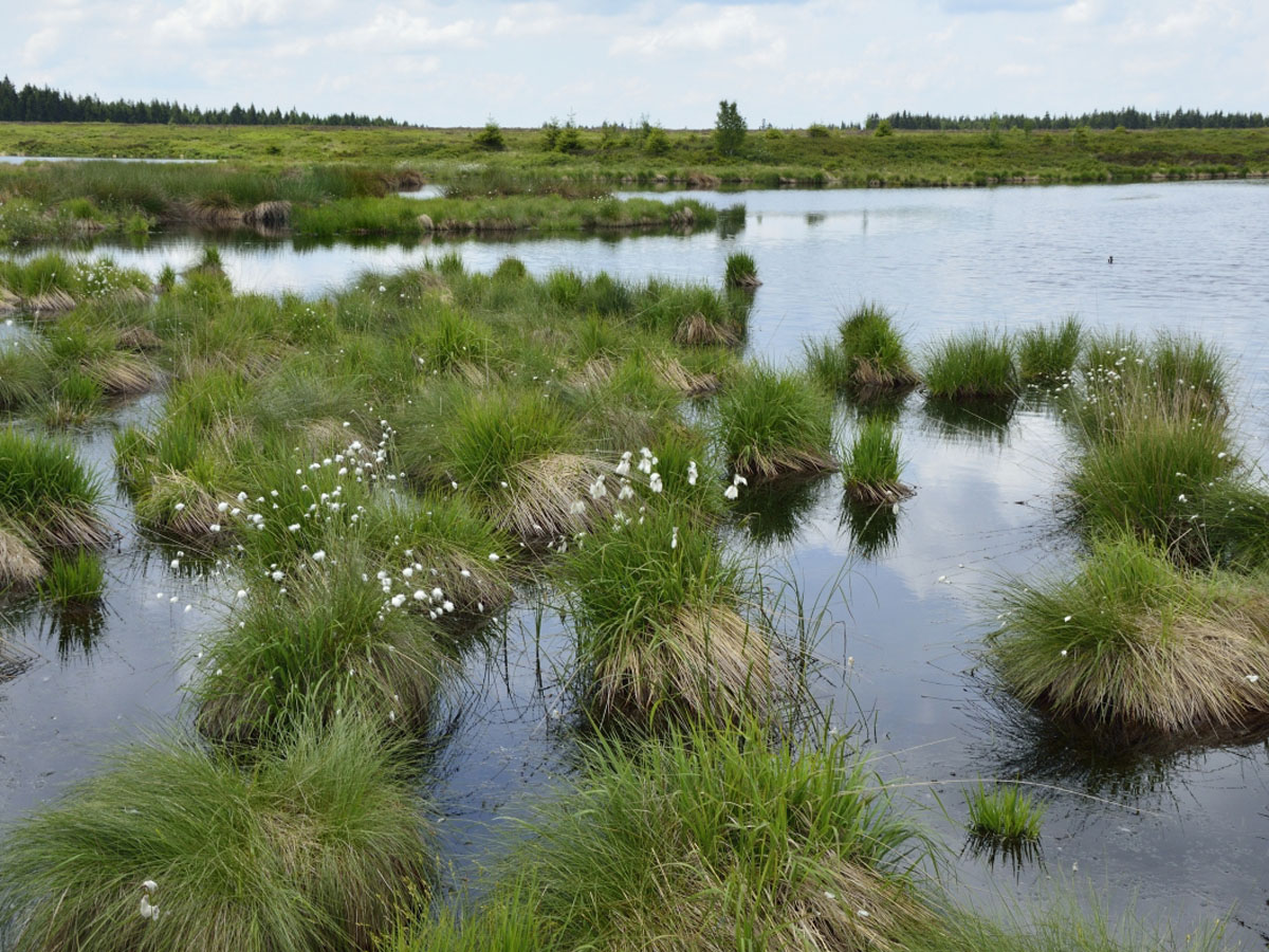
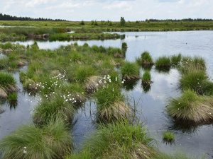 Renaturierte Moorlandschaft (JPG - 328 KB)
© Dr. Ulf Hauke
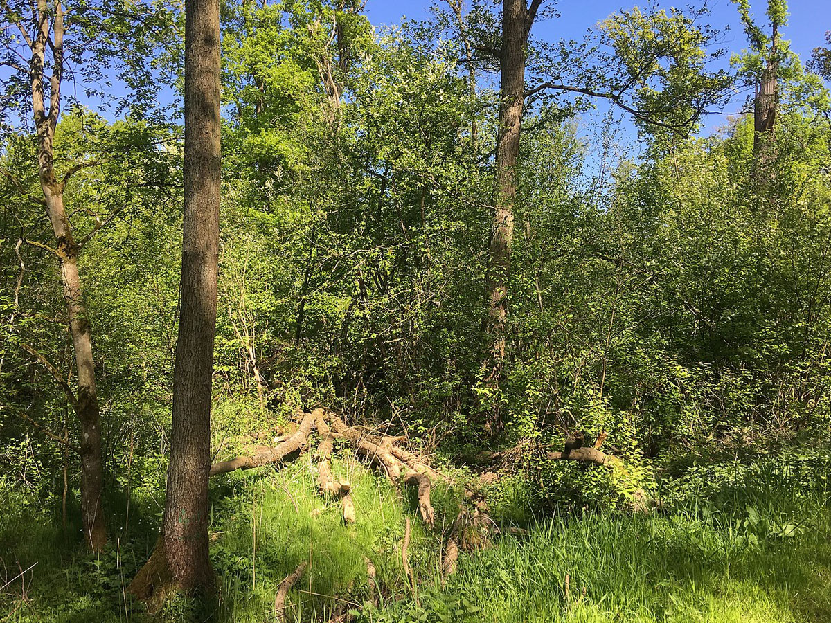
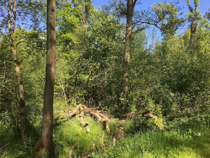 Naturnaher Wald (JPG - 694 KB)
Foto: Martin Schmidt / commons.wikimedia.org / CC BY-SA 4.0
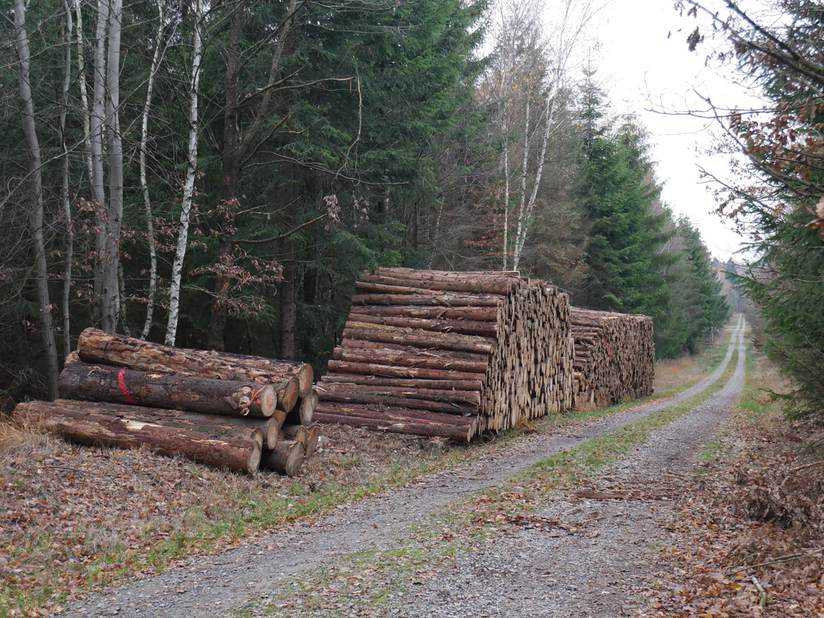
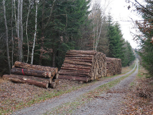 "Aufgeräumter" Forst (JPG - 423 KB)
Foto: Sebastian Kauer,
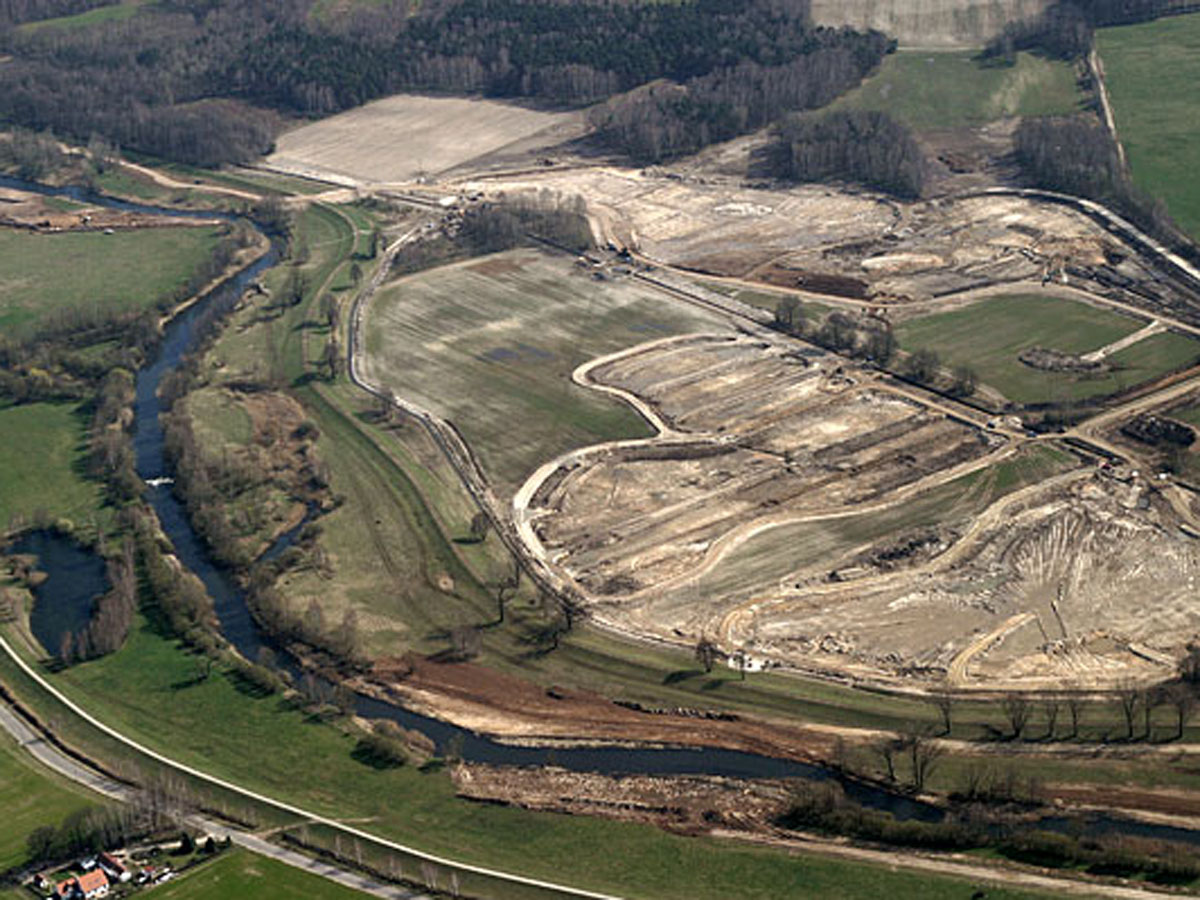
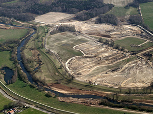 Bergbaulandschaft (JPG - 261 KB)
Foto: Jörg Friebe / commons.wikimedia.org / CC BY-SA 3.0 DE
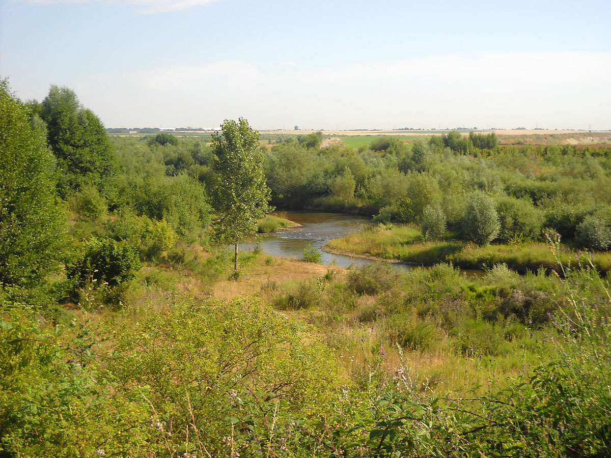
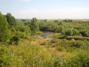 Renaturierte Bergbaufolgelandschaft (JPG - 380 KB)
Foto: EveryPicture / commons.wikimedia.org / CC BY-SA 3.0

